Have you ever traveled any or all of the Gunflint Trail in northeastern Minnesota?
Here are just a few things you’ll find along the way:
Gunflint Trail
Cook County Hwy 12, aka the Gunflint Trail, starts in the town of Grand Marais right on the north shore of Lake Superior. Most people who make it this far continue further up the shore on Hwy 61 towards Grand Portage and the Canadian border, which is well worth the trip in its own right. But if you hang a left at Hwy 12 and head up the hill, the Gunflint goes inland into Superior National Forest for 57 miles on a two lane paved road until it terminates at Trail’s End campground.
You’ll be “off the grid” soon after leaving town, meaning no cell phone service. You’ll have access points to the Boundary Waters Canoe Area, which is the largest wilderness in the Lower 48. There are more lakes than you can count; some of which allow motor boats and others within the BWCA that do not. This will probably be one of your best chances of seeing a moose in Minnesota, as well as other birds and wildlife that you won’t see other places in the state.
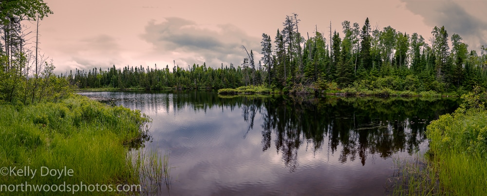
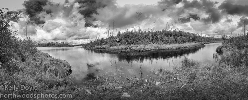
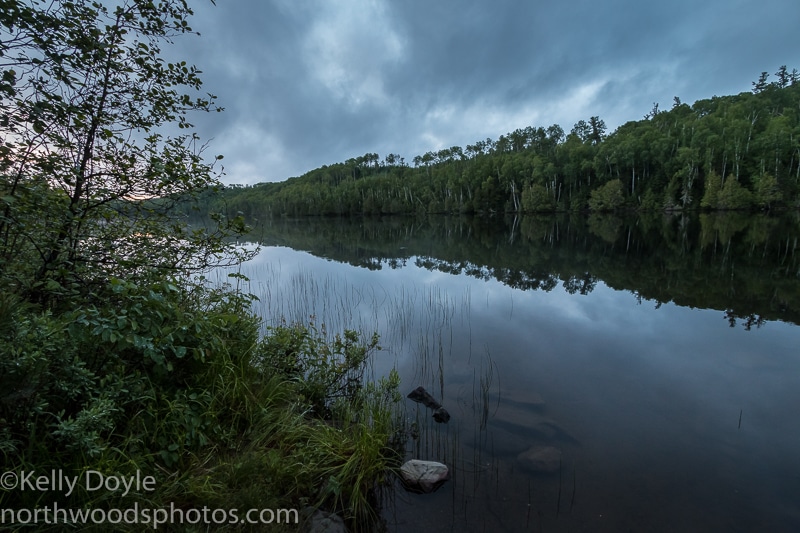
There are well maintained dirt roads (most are seasonal) that lead to several public boat landings and hiking trails if you choose to venture further off the Gunflint Trail. You can enjoy spectacular scenery without getting too far from your car, such as from this boat landing at Aspen Lake:
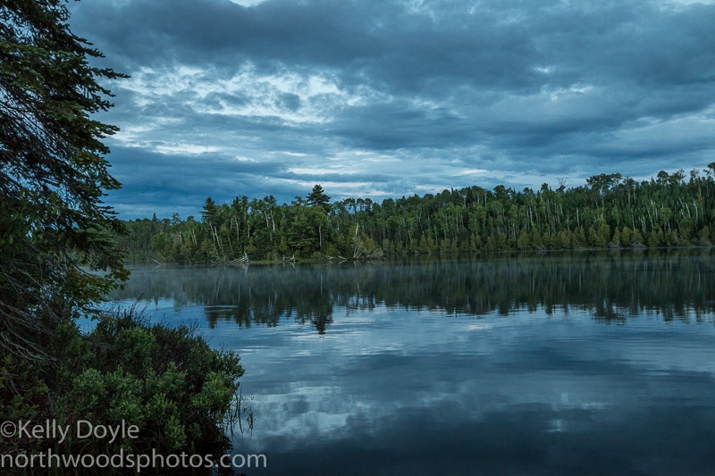
or this one at Iron Lake:
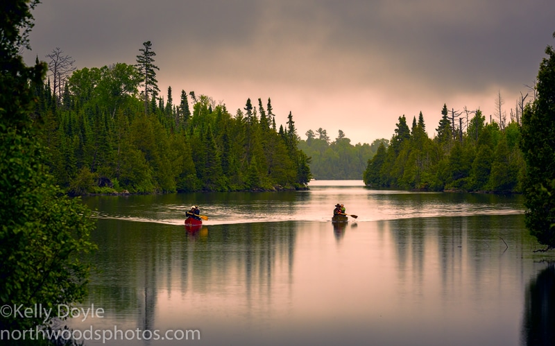
If you really want to experience the landscape, you’ll need a canoe or a good pair of hiking shoes. You’ll also want topographical maps, a compass, and the skill to use both. The area has amazing hiking trails, some of which require route finding ability because they are not used frequently and can become overgrown in spots. But most people explore the area by canoe. Either way, you’ll need a permit to enter the BWCA if you’re doing anything longer than a day trip.
Most of the hiking trails in this area have lots of rocks and roots, making them slippery when wet. Even short hikes can be a challenge when they involve steep climbs, which many of them do. But if you’re willing to get out on the trails, the rewards are well worth the effort.
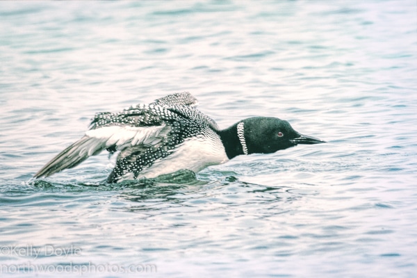
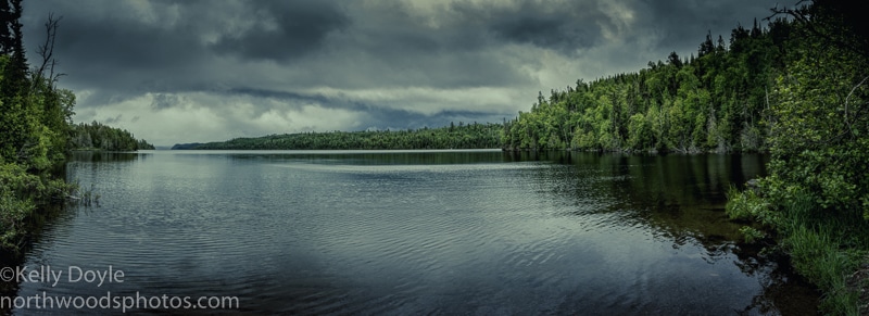
There are several campgrounds in Superior National Forest as well as lodges and outfitters all along the Gunflint Trail. I’ve stayed at several different campgrounds in the forest; and the further up the trail you go, the fewer people you generally encounter. You’ll most likely wake up to the sounds of loons calling no matter where you hang your hat for the night.
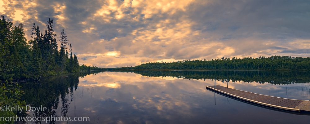
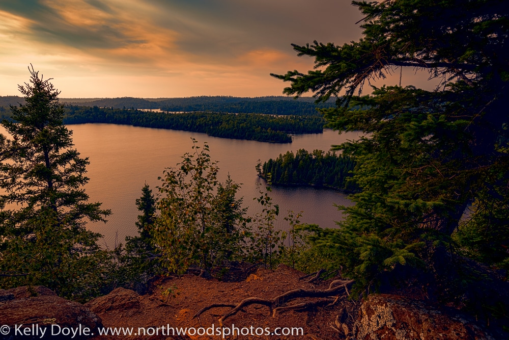
Here was a sunrise from my campsite at East Bearskin Lake just a couple weeks ago during a rainy stretch:
… and a sunset at Flour Lake the night before:
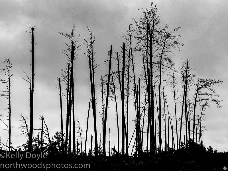
A little further up the trail, you’ll cross the Laurentian Divide, where the rivers now flow north towards Hudson Bay in Canada rather than east to Lake Superior. You’ll see the scarred trees from the Ham Lake wildfire 10 years ago as well as the new forest growing.
If you want to learn more about the history of the Gunflint Trail and the people who settled the area, I highly recommend a visit to the Chik-Wauk Museum and Nature Center near the trail’s end on Saganaga Lake! They’ve got lots of activities for all ages and are continuing to expand the museum itself.
Take it easy with a luxurious week at a nice lodge or cabin with all the amenities, or rough it in the woods (please know about bear safety).
Happy trails on the Gunflint! I can’t wait to go back!